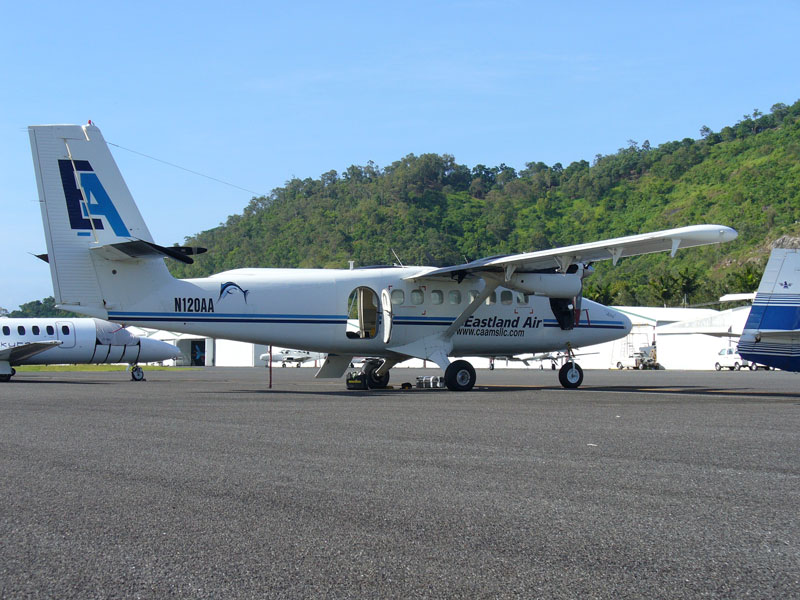
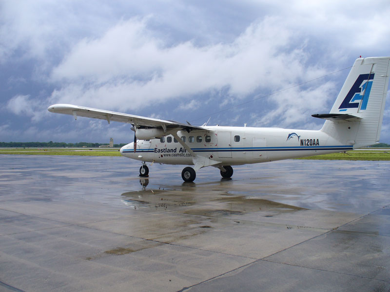
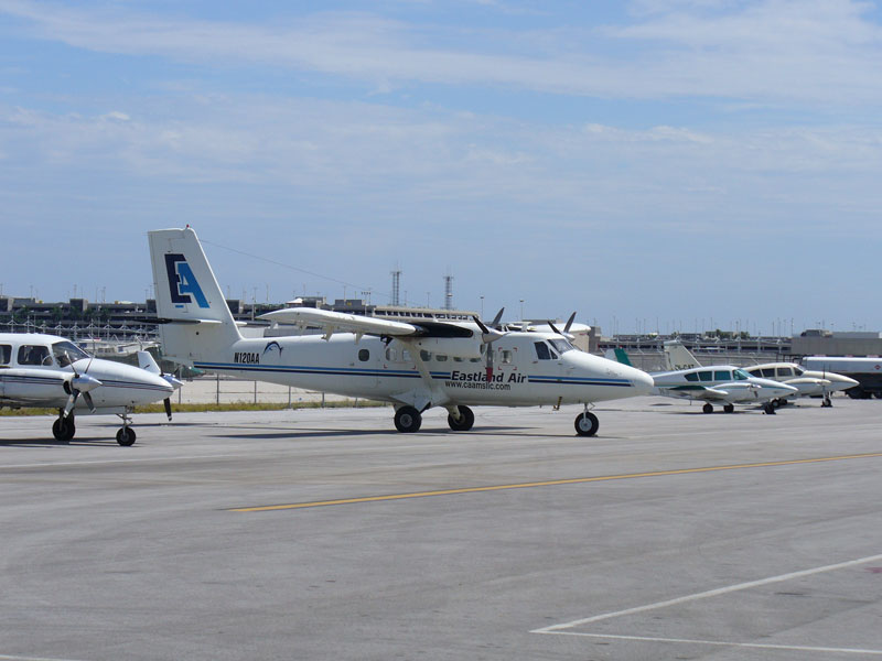
DHC-6 Twin Otter 200
N120AA
Southern Cross Aviation Flight SXA408
Cairns, Australia to Fort Lauderdale, Florida
YBCS - AGGH - PKMJ - PHNL - KCMA - KFST - KHUM - KFLL
6700 nautical miles over water - 1600 nautical miles over land
March and April 2007
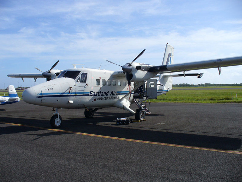
The "Before" photo, on the ramp, Cairns, Australia
Australian Rego VH-KEA changed to N120AA - no ferry tanks permitted in Oz
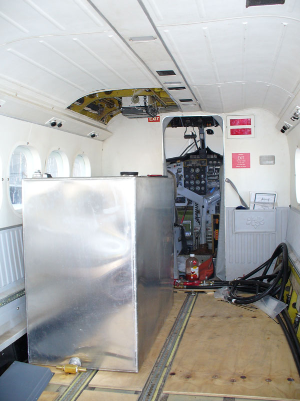
First tank in and HF radio antenna tuner installed
Only 5 more tanks to go to put 990 US gallons in the cabin
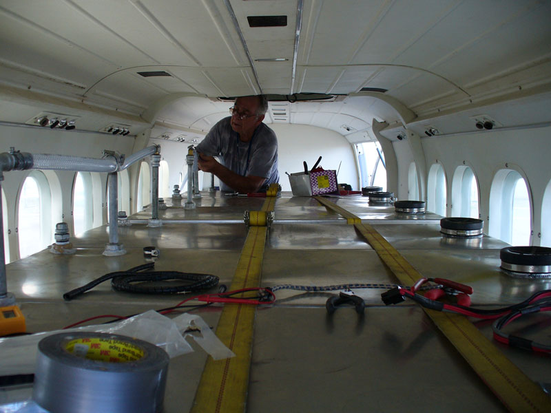
Six tanks installed and vented - only 5000 pounds over gross when filled
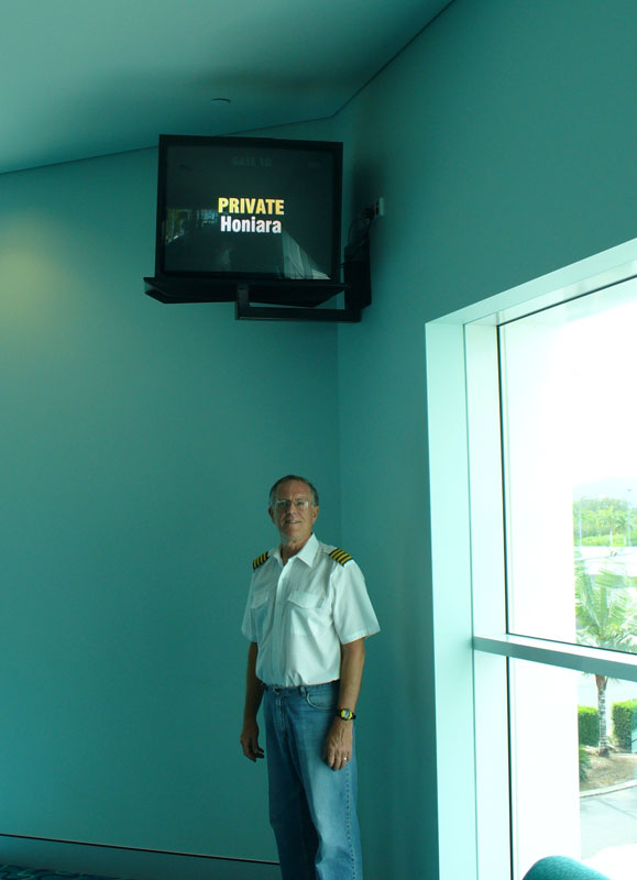
Captain Putnam clearing Australian Customs, Cairns, enroute to Honiara, Solomon Islands
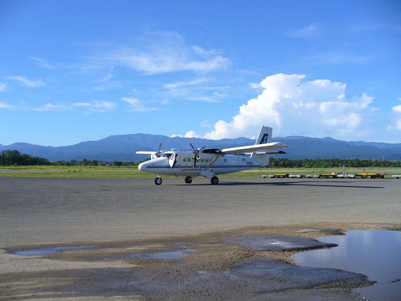
Henderson Field, Honiara, Solomon Islands
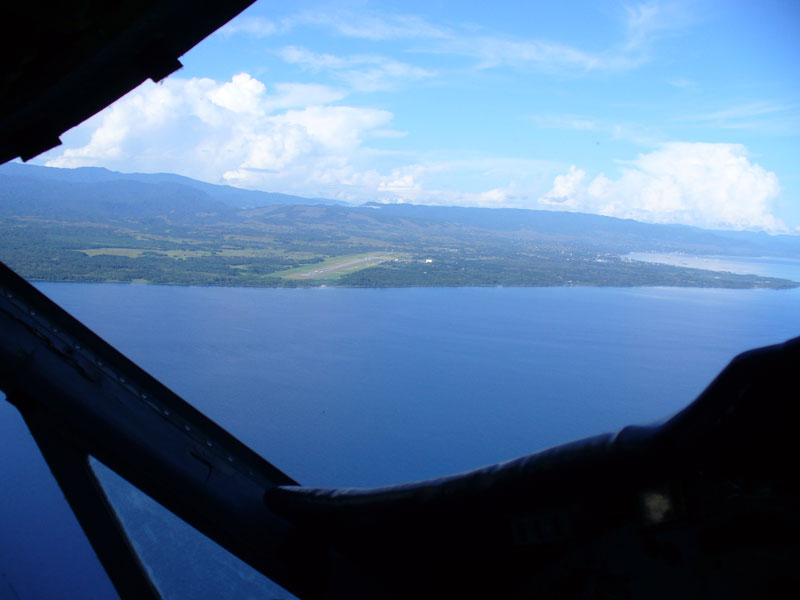
Circling to gain altitude, after departing Henderson Field

600 pounds per hour gives 150 knots TAS when overweight
Nauru Island, the richest island on earth, until the phosphates ran out

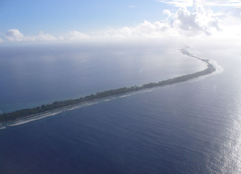
Sooner or Later, the ITCZ must be crossed
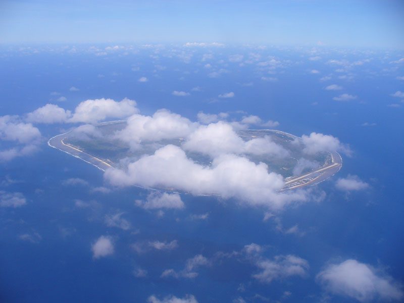
Majuro Airport is the wide spot in the Atoll, top right
Sunrise, Majuro International Airport
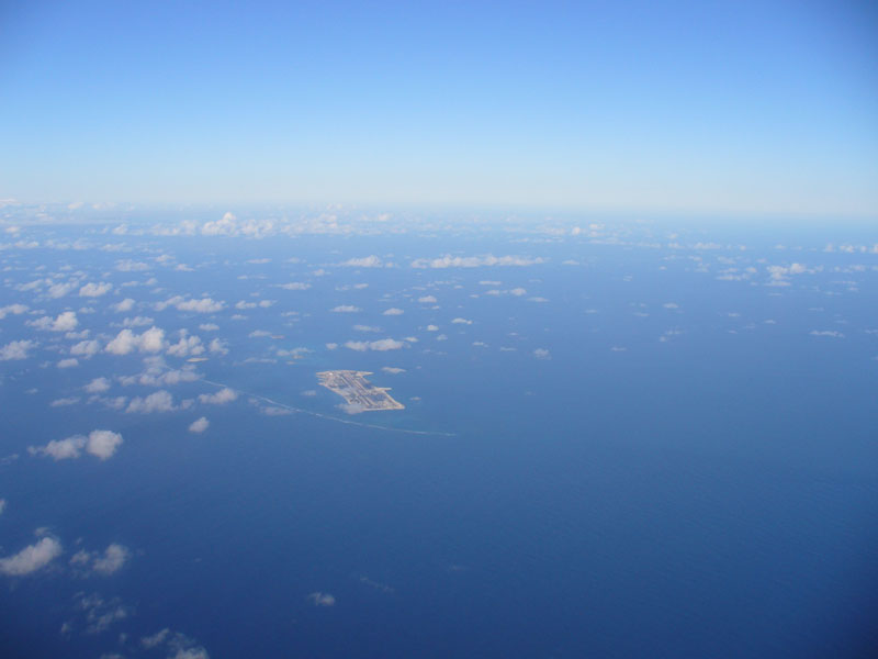
Approaching Johnston Island, atoll barely visible

Overhead Johnston Island, now deserted
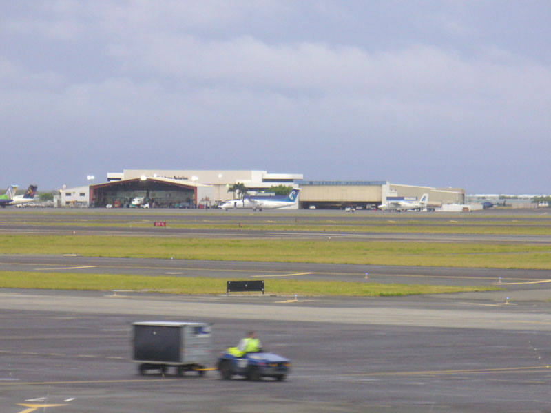
DHC-6, behind Big Brother, a Dash 8, on the ramp, Honolulu

Waiting for Zero-Zero conditions to improve for take-off, Fort Stockton, Texas
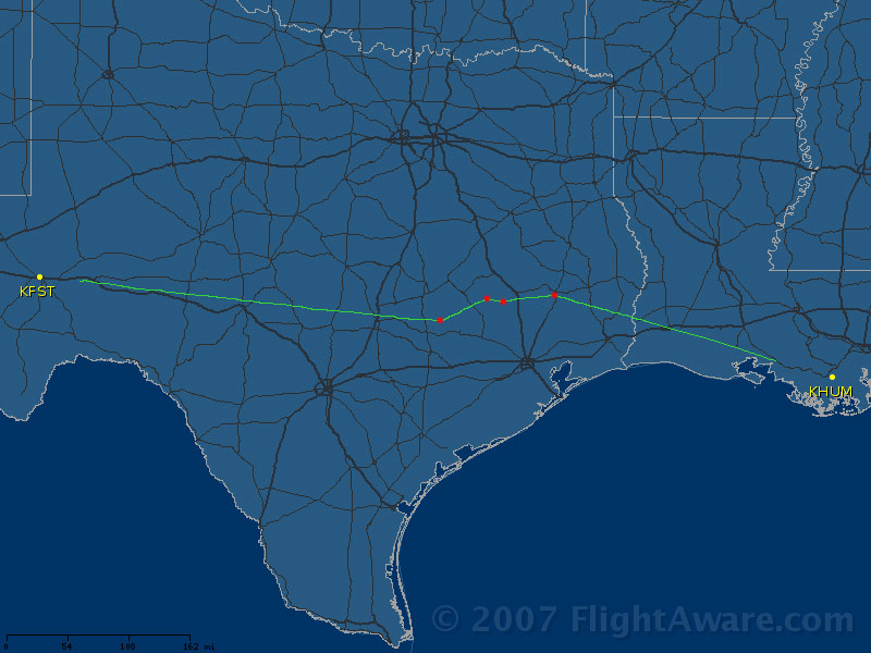
IFR routing with vectors around Houston, then GPS direct KHUM (225 nm)
A day of embedded thunderstorms in Houma, Louisiana

Vectors to the Q100 Route, then GPS direct KUBIC (220 nm)
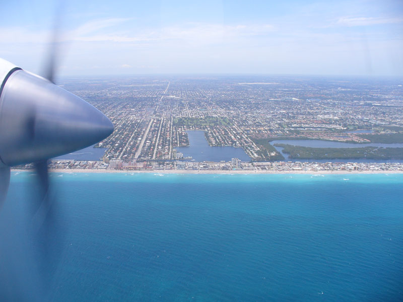
Over the Atlantic Ocean, on left base for Runway 27L, Fort Lauderdale, Florida
The "After" photo, on the ramp, Miami Aviation, Fort Lauderdale, Florida
Route Maps

International Route
1. Cairns, Australia
2. Honiara, Solomon Islands
3. Majuro, Marshall Islands
4. Honolulu, Hawaii
5. Camarillo, California

Domestic Route
pixelbiz | design